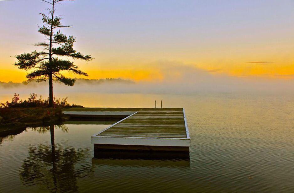
You may be well aware of the flood conditions that Muskoka experienced in the spring of 2019. All areas of Muskoka were affected, but perhaps the biggest financial impact occurred on Lake Muskoka, where water levels reached 2 ½ to 3 feet above dock level. In fact, the water was so high on Lake Muskoka that water was flowing backwards – from Lake Muskoka into the Indian River at Port Carling. We witnessed this ourselves over a two-day period. Simply astounding to watch!
The question on everybody’s mind is “Is this the new normal?”, given we have had abnormal, “once in 100 years” flood conditions, in 3 of the last 6 years.
If you are interested in monitoring your lake level in real-time, you can go to wateroffice.ec.gc.ca click on Hydrometric Station and Network Data, click on Real-time Station Search and enter Station # 02EB018 for Lake Muskoka (Beaumaris) and Station # 02EB020 for Lake Rosseau and Joseph (Port Carling).
There is a 3rd gauge at Bala that you might want to monitor as well since the Bala outlet more or less controls the levels in the 3 big lakes. The Station Number is 02EB015 and the name is BALA.
You can also find the links below:
Other lake data can be found by using the system tools.
In July 2019, the Ontario Government appointed Doug McNeil as Special Advisor on Flooding. In his review, Mr. McNeil confirmed that this year’s record-setting flooding in many parts of the province was caused by a combination of weather conditions…colder-than-average winter and spring temperatures, higher-than-average snowpack, lack of significant winter thaw and significant rain events in the spring. The Flood Advisor also confirmed that the 42 dams in the Muskoka watershed are not intended for flood control. The management of these dams is controlled through the Muskoka River Water Management Plan. He also found that nothing pointed to human error or the negligent operation of water control structures as the cause of the flooding, and that government and its partners were effective at reducing and mitigating flood risks. You can read the complete 157-page report by going to Ontario. ca/floodreport
Our interpretation of this report is that there are no quick fixes to Muskoka’s (and Ontario in general) risk of spring flooding. We can likely anticipate more spring flooding events if weather conditions are similar to the spring of 2019. We find it interesting to note that the Special Advisor on Flooding, Mr. McNeil, found that nothing pointed to human error or negligent operation of water control structures as the cause of this spring’s flooding. Many people in Muskoka jumped to the conclusion that this, in fact, was the reason that flooding in Muskoka was so extensive and severe. We have heard, informally, that the MNRF will be undertaking one prolonged water level drawdown on Lake Muskoka, and possibly Lakes Rosseau and Joseph also, rather than the two-step process employed in the past. If this approach is taken, it may be at the expense of some fish species, as the past first drawdown late in the year was to force the fish to spawn out in deeper water where their eggs would not freeze when the larger winter drawdown took place. We are sure there will be a lot of attention paid to this process this year.
This entry was posted on April 29, 2020 by Jim and Iris


 Lesley-Anne Goodfellow